In an age dominated by GPS navigation and smartphone apps, traditional map-reading skills remain fundamental—for safety, adventure, and self-reliance. Whether navigating city streets abroad, planning a hiking route through rugged wilderness, or simply orienting yourself in a new environment, understanding how to read a map is an empowering and timeless ability. Research from outdoor safety organizations continues to highlight that overreliance on digital mapping can leave individuals vulnerable when batteries die or signals fade. Thus, mastering the basics of map reading is a critical life skill, blending both cognitive understanding and practical technique.
Understanding the Anatomy of a Map
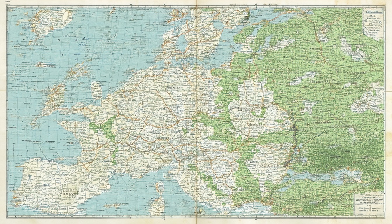
Every map—be it a topographic hiking chart, a road atlas, or an online map screenshot—communicates information visually. Familiarity with key features can help decode complex geographic data at a glance.
Map Elements: Legends, Scales, and Compass Directions
- Legend (Key): This box, often found in a corner, explains the symbols and color codes used. For example, green areas may indicate forests, while blue usually signifies water.
- Scale: Maps present real distances in a reduced scale. If the scale reads “1:50,000,” it means one unit on the map equals 50,000 in reality. Understanding scale is essential for estimating travel distances.
- Compass Rose: This indicates orientation. North is typically at the top, but checking the compass rose clarifies cardinal and sometimes intermediate directions.
Symbols and Colors: Universal Language of Maps
Maps employ a globally recognized vocabulary of icons and color shades. Urban explorers will note that solid lines often represent highways, dashed lines can show trails, and specific landmarks (hospitals, viewpoints, campsites) are marked by standardized icons. Topographic maps add contour lines: tightly packed lines mean steep terrain, while spaced lines suggest flatter areas.
Core Steps: How to Read a Map for Beginners
Mastering map reading involves a logical, step-by-step process. Each step builds your confidence and skill, whether in the city, countryside, or wilderness.
1. Orient the Map to Your Environment
First and foremost, align your map’s orientation with your actual surroundings. Hold the map flat and use a compass (physical or integrated in your phone) to match the map’s north with earth’s north. This avoids mirrored or incorrect interpretations.
2. Identify Your Current Location
Look for identifiable landmarks: a crossroads, river, or distinct building. On trail maps, a unique formation, lake, or signed trail junction can serve as an anchor point. Mark it with your finger to avoid losing track as you plan your route.
3. Understand the Scale and Plot Your Route
Assess how far your intended destination is by measuring the distance on the map and converting it using the map’s scale. For example, two centimeters on a map with a scale of 1:25,000 would represent half a kilometer in reality.
- Use string or a ruler for curving paths.
- Divide your route into segments between notable features for easier navigation.
4. Read Symbols and Terrain Features
Interpret the map’s symbols, focusing on ones crucial to your journey. For hikers and outdoor enthusiasts, it’s especially important to evaluate elevation gain using contour lines.
“Map reading is about translating a two-dimensional piece of paper into a three-dimensional mental model of your world,” says longtime orienteering coach Linda Blackwell. “With practice, you build spatial awareness, anticipate hazards, and navigate confidently, even under pressure.”
Practical Scenarios: Applying Map Skills
Beyond basic use, map reading is about decision-making in dynamic environments. Consider these contexts:
Hiking in Remote Terrain
Experienced hikers refer to both paper maps and GPS units. When visibility is poor—fog, darkness, or heavy forest canopy—knowing how to interpret contour lines and check bearings with a compass can mean the difference between safety and getting lost.
Urban Exploration
Travelers in unfamiliar cities often use physical transit maps alongside digital tools. Understanding how to decipher subway lines, bus routes, or intersecting road networks speeds up decision-making—especially if network outages halt online services.
Navigation in Emergency Situations
Disaster response teams and search and rescue coordinators routinely fall back on detailed topographic and street maps, since satellite and digital networks can fail during major weather or infrastructure events.
Overcoming Common Map Reading Mistakes
Newcomers often make predictable errors when interpreting maps, but vigilance and practice can prevent major setbacks.
Misaligning the Map
Failing to orient the map to the landscape leads to confusion—directions become reversed, and missteps multiply. Always confirm north before plotting a path.
Scale Misinterpretation
Misjudging the map’s scale results in underestimating distances or missing key features en route. Double-check the scale and use measuring aids as needed.
Ignoring Contour Lines
Overlooking elevation can cause you to choose a route that is technically possible but far more strenuous or dangerous due to steep ascents or descents.
Expert Guidance: Building Map Literacy Over Time
Educational initiatives and outdoor organizations encourage hands-on map-reading practice from a young age. Orienteering is a popular sport that meshes physical activity with cognitive challenge, requiring participants to interpret maps under time pressure. Public schools in some regions integrate basic map skills into geography curricula, while organizations like the Scouts and the Appalachian Trail Conservancy provide resources for ongoing learning.
Conclusion: The Enduring Value of Map Skills
Map-reading is both an ancient art and a modern necessity. As technology evolves, foundational navigation skills ensure greater independence, resilience, and confidence—whether exploring the wilds or the urban maze. Practicing regularly with different types of maps, both digital and physical, sharpens mental acuity and prepares individuals for challenges beyond the reach of Wi-Fi and satellites.
FAQs
What are the most important parts of a map for beginners to understand?
Beginners should focus on learning the map’s legend (key), the scale, compass rose, and the major symbols for landmarks or geographic features. These components form the foundation for accurate map interpretation.
How can I practice map reading if I don’t have a compass?
You can still orient a map by identifying obvious landmarks in your surroundings and matching them with the map. Using shadows (with the position of the sun) or observing streets and natural features can also help you align your map north-south.
Are digital maps reliable for all navigation?
Digital maps are useful and convenient but can become unreliable if battery power fails, data coverage is lost, or app errors occur. Knowing how to use paper maps ensures you’re prepared for these scenarios.
Why do contour lines matter on a map?
Contour lines reveal the elevation and shape of the terrain, helping to assess the steepness of slopes, avoid hazardous areas, and plan efficient routes, especially in backcountry or mountainous regions.
Do maps differ depending on the country or region?
Yes, while the basics are similar worldwide, some symbols and conventions can differ by country or map type. It’s important to read the legend each time and familiarize yourself with local standards.
